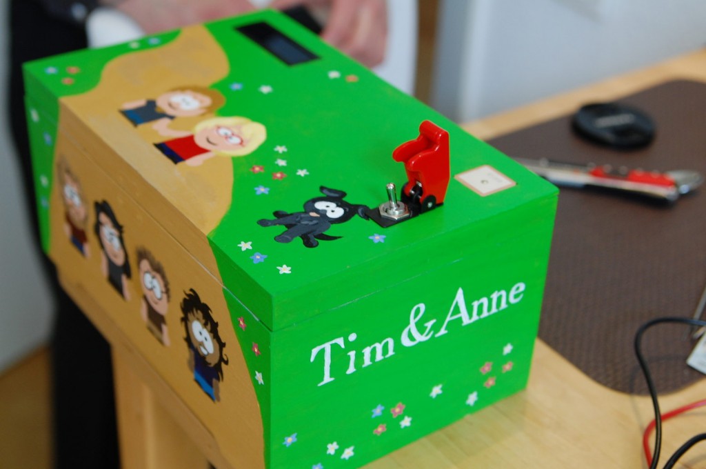
A while ago, friends of mine got married. Like so often, we tried to come up with some extraordinary cool wedding present. They both enjoy hiking and geo-caching, which inspired us to make the following present. We found an awesome idea online, the reverse geo-caching puzzle. The original description can be found here: http://arduiniana.org/projects/the-reverse-geo-cache-puzzle/
The idea is to give a box to the couple. Inside the box there is a gift (whatever you like to give as a present.) The box itself is locked and has one button and a display. When the button is pressed, the box retrieves its geographical location via a GPS receiver and displays a distance to a checkpoint. The holder of the box has to bring the box to the checkpoint. When the checkpoint is reached, a new distance to another checkpoint is shown on button-press. After reaching a couple of checkpoints, the box opens when carried to the last checkpoint. The tricky thing is that only the distance to the points is shown and no other information like compass points etc. Therefore, the holder of the box has to press the button in different locations and derive the coordinates of the checkpoint from these relative information.
We re-implemented and customized this original idea to give it to our friends. This article describes the making-of, including some documentation of the actual puzzle-solving. This project was done by me and four friends of mine in a truely globally collaborative way. The contributors to the box were located in two different countries, three different cities. We created the box in two different geographical locations and doing collaborative coding and soldering sessions via video conferencing. Only shortly before the actual wedding ceremony, we came together for the final assembly (and some hectic last-minute fixing).

